Experimenting with Water Data in Unreal Engine

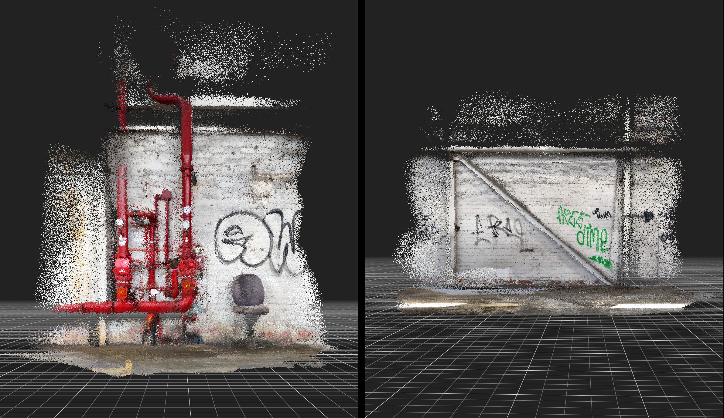
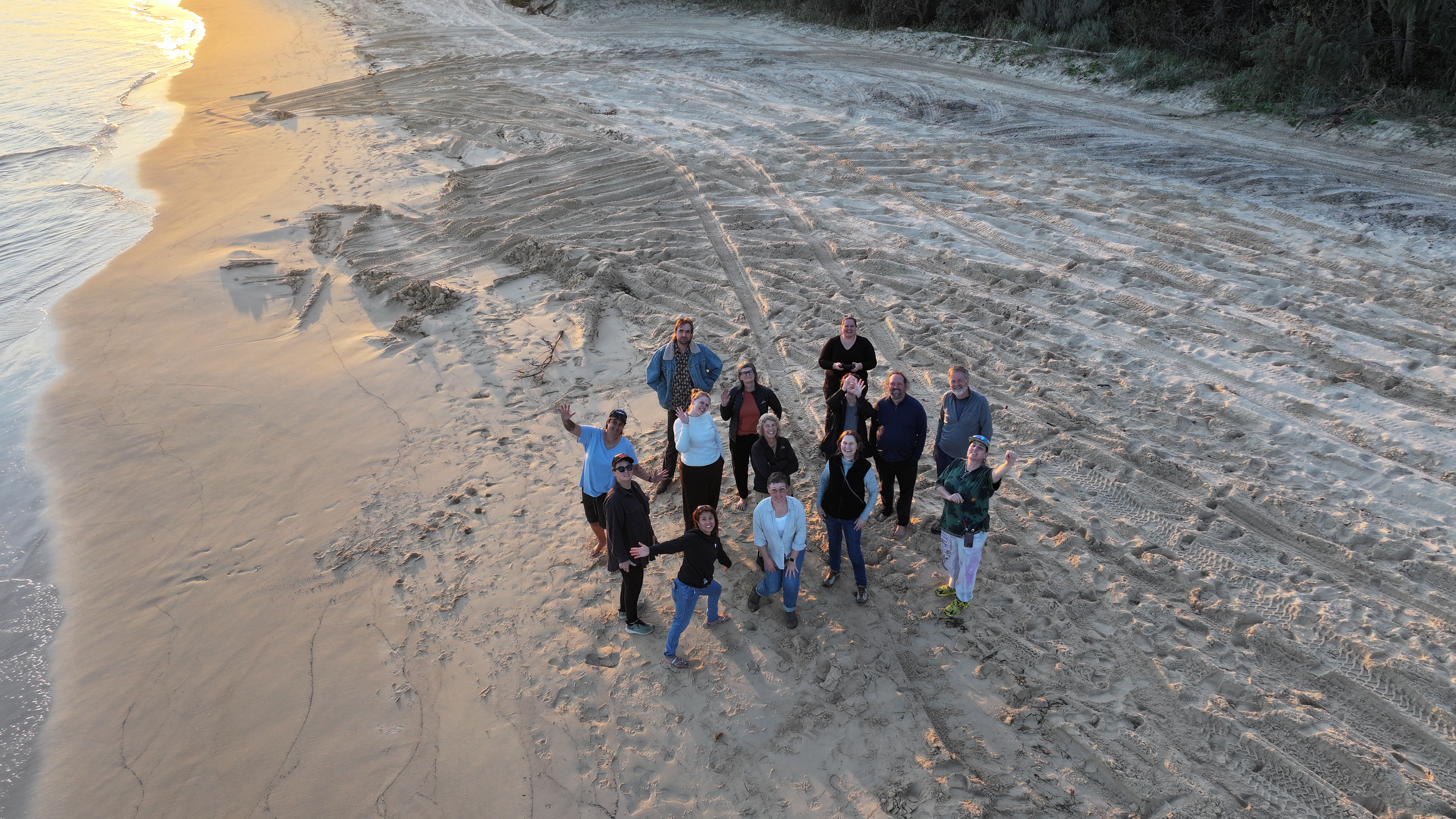
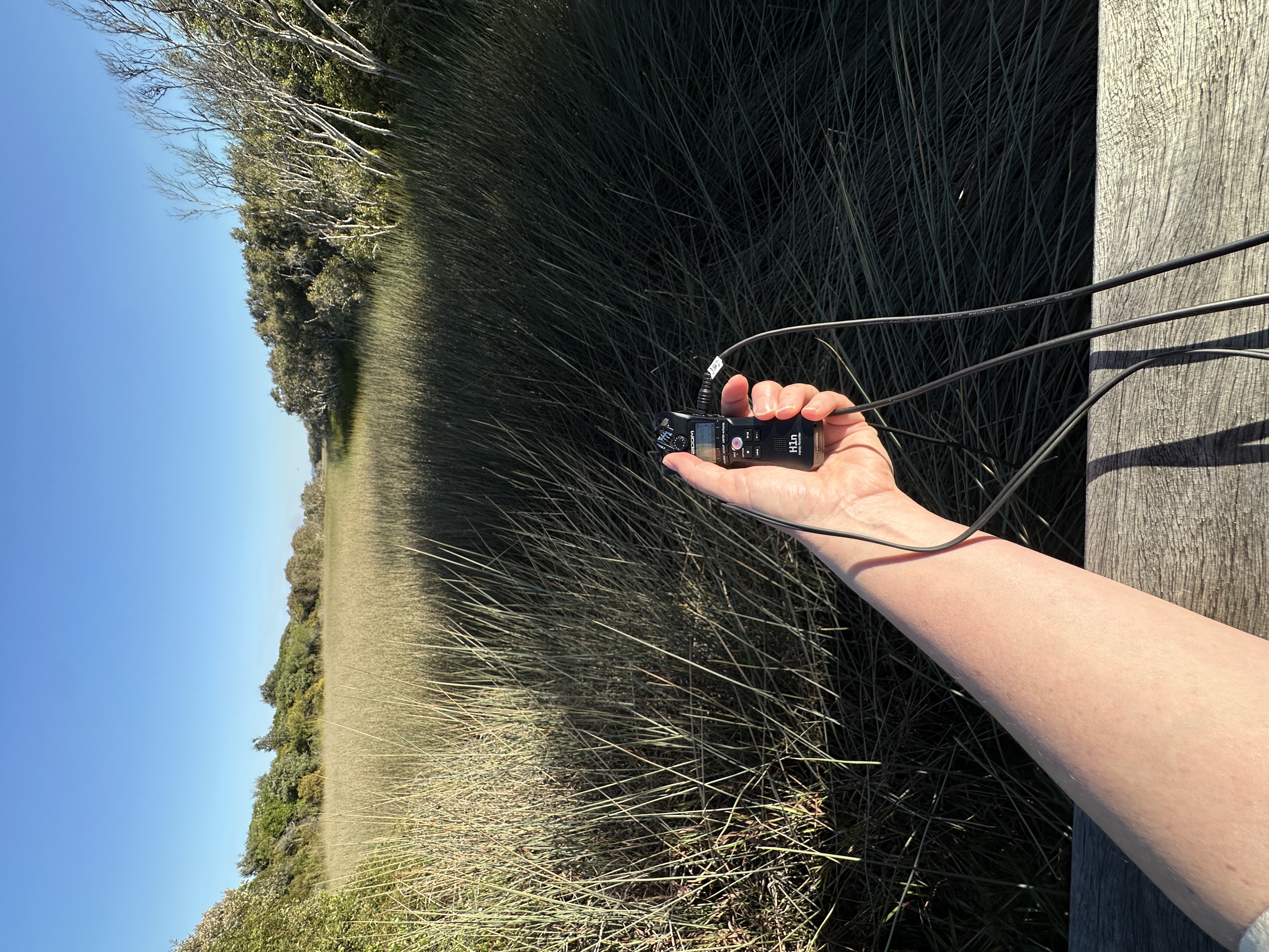
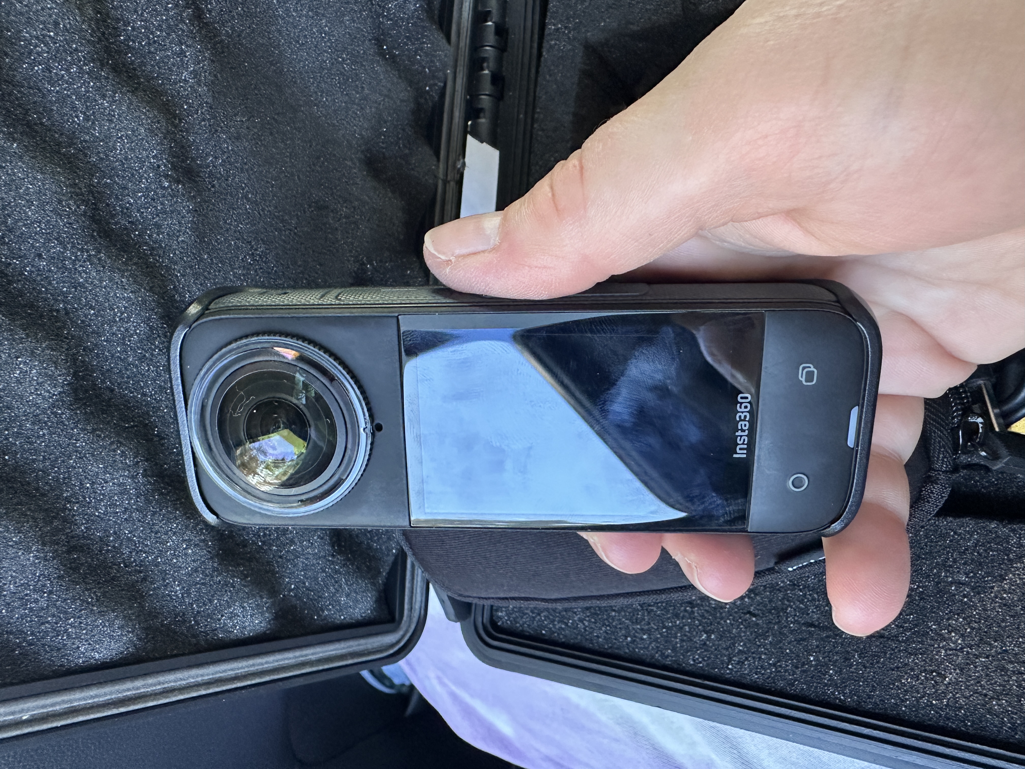
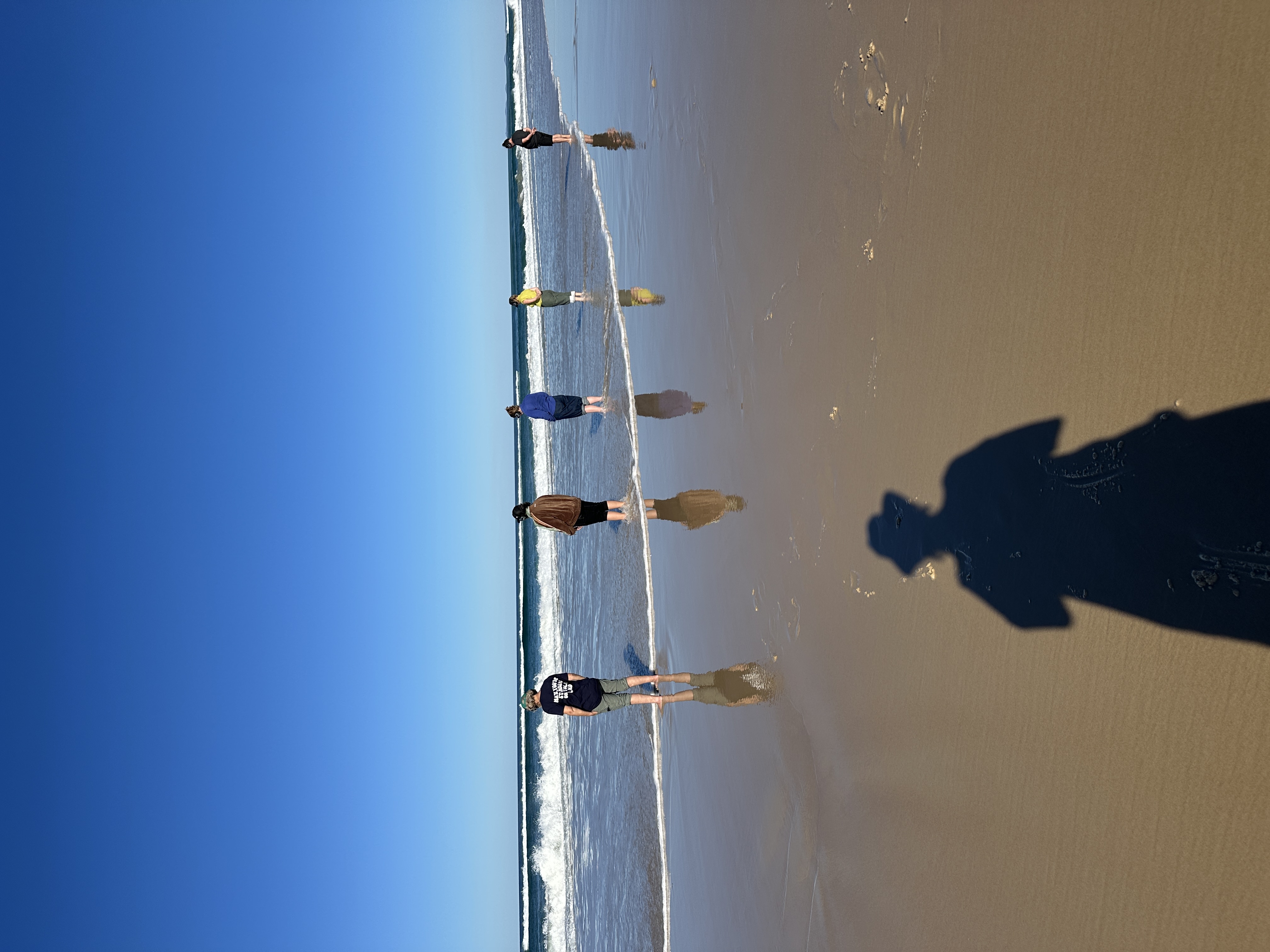
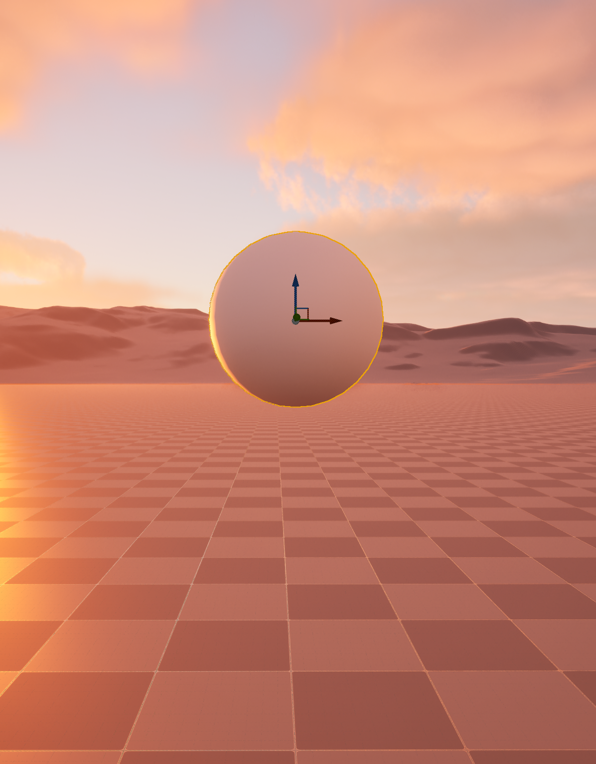
In this latest development, I’ve been working within Unreal Engine to explore how real-world environmental data can drive virtual ecosystems. Using 3D models created through photogrammetry, I’ve been constructing digital landscapes that draw directly from real environments, continuing my ongoing investigation into the relationships between human and nonhuman systems.

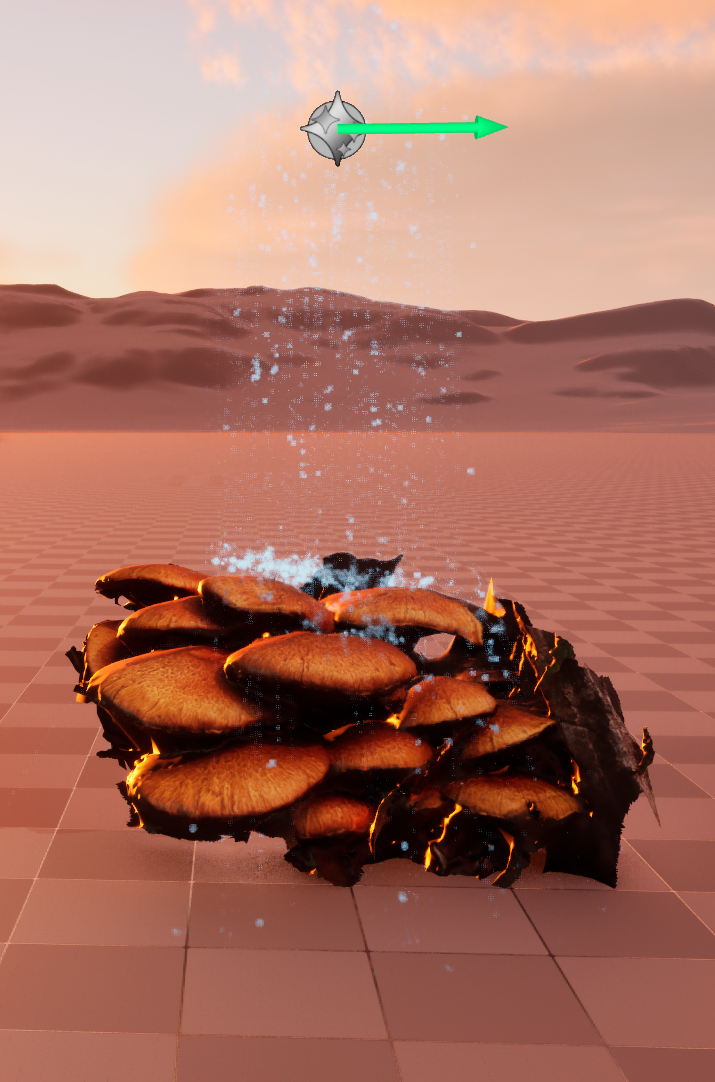
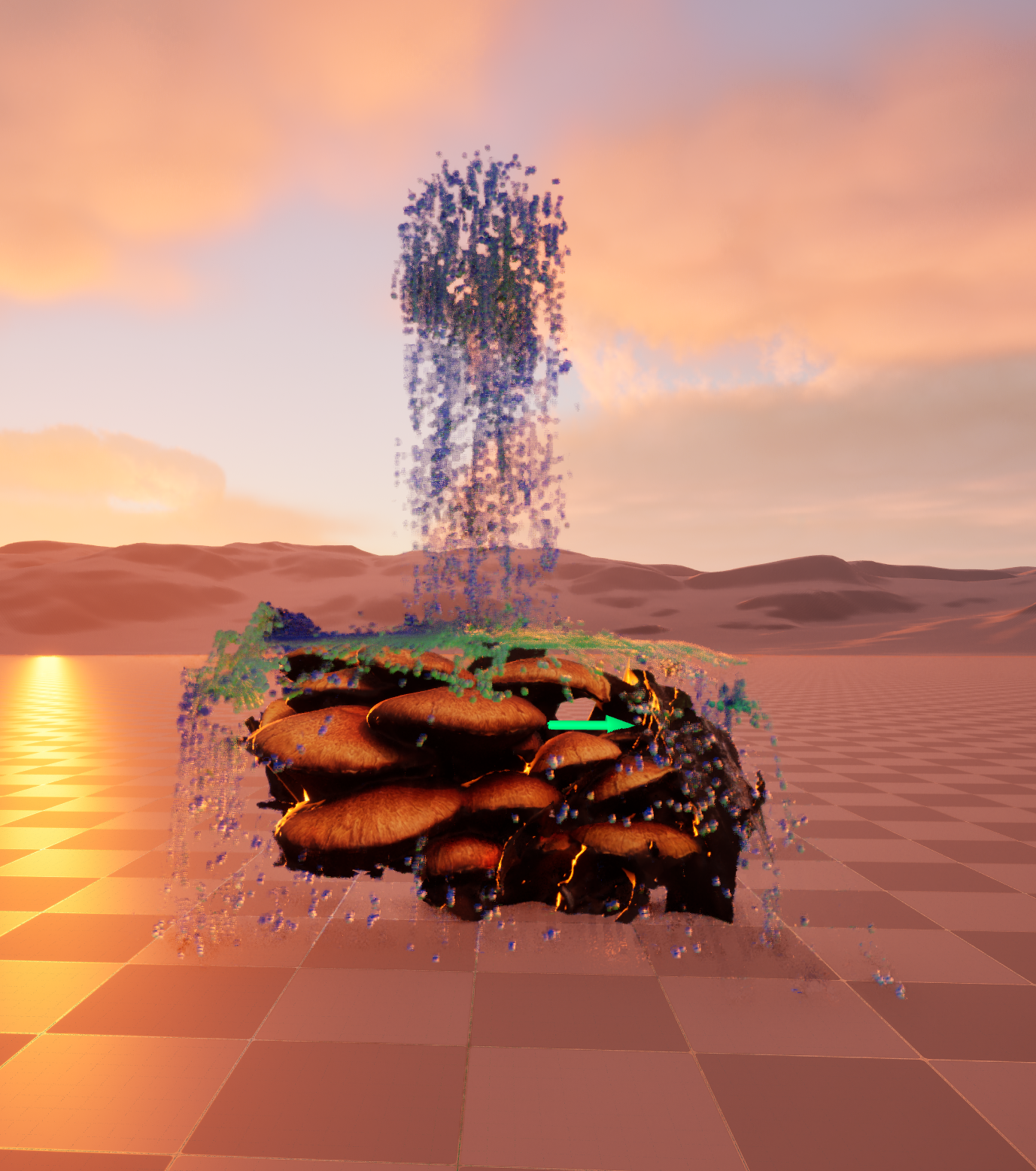
In this Unreal Engine experiment, I focused on simulated water as both a visual and conceptual element. I began by building a series of compositions integrating water bodies into photogrammetry-based environments. The goal was to create a living, responsive system,  one that reflects the fluctuations and rhythms of natural water cycles.

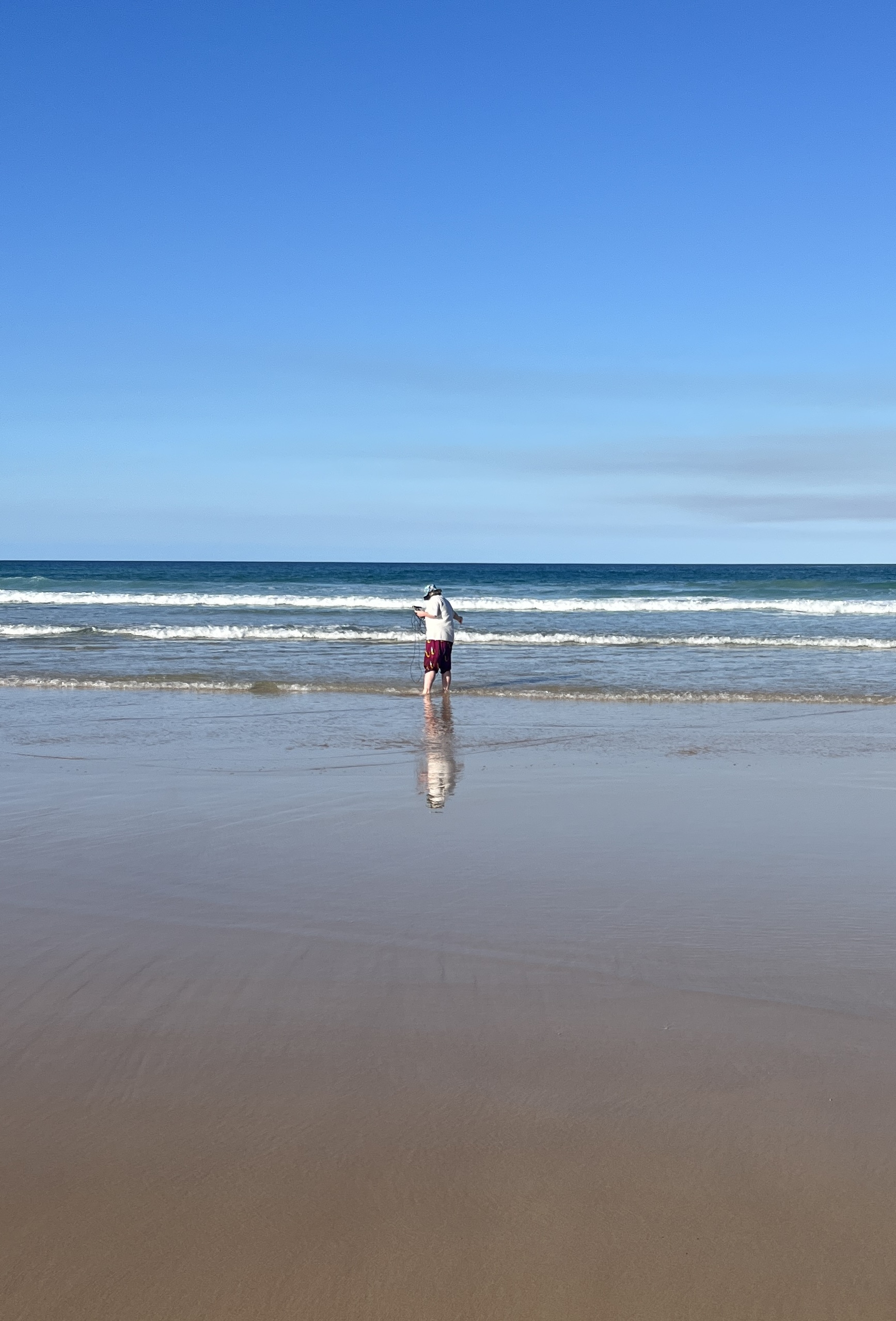
To do this, I accessed recorded water data, specifically tidal and reservoir level readings, and connected these data streams to parameters controlling water height, flow, and movement within Unreal. This integration allows the virtual water simulation to shift dynamically, mirroring the variations occurring in the physical world.

By embedding these datasets directly into the Unreal Engine environment, the work moves beyond visual representation into a form of data-driven ecological embodiment, where water, both real and simulated, shapes the work.

This marks the first stage in developing a responsive virtual ecosystem, where environmental data continuously informs visual and performative elements. Going forward, I’ll be expanding this workflow to connect multiple data streams, building toward real-time systems that explore how digital environments can reflect and critically engage with the changing conditions of our planet.

Tidal Memory: Water Simulation with Point Clouds

As part of my ANAT Water Themed Residency, I have been developing new experiments in TouchDesigner that explore the relationship between site, data, and simulation. My latest work explores point cloud scans captured at the abandoned Fishermans Bend site, the future home of South East Water’s new recycling plant. 

From Site to Simulation

The process began with point cloud scans of the Fishermans Bend site in the multiple warehouse spaces, a location marked by its industrial history and now it’s evolving role in Melbourne’s future water infrastructure. 

I worked with SiteScape, an app downloaded to my IPhone and uses its LIDAR sensor. This sensor projects thousands of infrared laser pulses into the environment. By measuring how long each pulse takes to return (“time of flight”), the sensor calculates accurate depth maps. This gives a live 3D map of the space, even in low light.

These scans were then imported and processed in TouchDesigner, where the raw geometric data became the framework for a new simulation. To animate this environment, I introduced a water simulation driven not by arbitrary physics, but by tidal data from the first six months of 2025 accessed online at the Bureau of Meteorology (BOM). This dataset, capturing the ebb and flow of tides, was mapped into the simulation to generate movement, rhythm, and flux across the scanned landscape.


Data as an Active Force

The tidal data informed multiple layers of the simulation, influencing the flow, intensity, and texture of the water surface. What emerges is a visualisation where the scanned site and the surrounding water systems intersect: the built environment of Fishermans Bend merges with the tidal cycles that shape its context.

This approach positions data not as static information, but as an active force that animates and reshapes virtual space. The simulation becomes both a record of place and a speculative vision, where industrial futures and ecological rhythms converge.


Towards Future Environments

This experiment is an important step in my research into how environmental data can drive real-time virtual environments. I am interested in how these processes might be scaled into larger Unreal Engine ecosystems, where site scans, water simulations, and sound can converge to create immersive experiences that make visible the unseen flows of data and environment.

By weaving point clouds with tidal information, this work begins to ask: how might digital tools help us listen differently to place? How can simulation reveal the entangled futures of water, industry, and ecology?

Visualising Rainfall Data

As part of my ongoing research into ecological data and its role in shaping virtual environments, I’ve been exploring the visualisation of historical rainfall records. This early experiment uses monthly rainfall data from the Bureau of Meteorology (BOM), dating back to 1904, to generate both visuals and sound in Touch Designer.

The process began by exporting the data as a CSV and filtering it to isolate the relevant rainfall values by month and year. From there, I formatted the dataset for use in Touch Designer, allowing me to begin translating numbers into visual and sonic form.

Step 1: Separate raw data from BOM and filter it down to rainfall values by month and year.

Step 2: Process the data for compatibility with Touch Designer.

Step 3: Animate a particle system and noise texture to represent rainfall amounts, while simultaneously using the same dataset to modulate a noise waveform, turning rainfall into a soundscape.

Step 4: Attach temporal markers (year and month) and render the outcome.

The result is a particle-based visualisation where the density and behaviour of particles correspond to rainfall levels, accompanied by an evolving sound environment. Both visual and audio elements are directly shaped by over a century of environmental data, offering a sensory encounter with long-term climate patterns.

This workflow is also a testbed for future applications. My goal is to extend these experiments into Unreal Engine, where real-time or pre-recorded environmental data can drive the behaviour of virtual landscapes. For example, rainfall levels could determine how water flows through a simulated forest, or how plant forms adapt and shift in response to changing ecological conditions.

By grounding digital environments in historical and real-time ecological data, I aim to create virtual spaces that embody more-than-human agencies, where water, plants, and climate patterns actively shape the experience. This experiment is just the first step toward developing immersive, data-driven works that reimagine our relationship with environmental cycles. Stay tuned for more experiments!

Thanks to Max Brading for assisting this development 🙂

Ancient Tides and Living Waters: Reflections from K’gari

I recently had the privilege of spending time on K’gari Island, the world’s largest sand island and a UNESCO World Heritage Area, resting on Butchulla Country. This immersive field trip was delivered by UniSC, Sunshine Coast Creative Alliance and The Refinery and based at the Dilli Village Research Station, where I had the opportunity to engage in deep listening, place-responsive research, and creative experimentation.

K’gari Research trip team Drone footage by Leah Barclay

K’gari is estimated to be over 750,000 years old, its form shaped by the relentless and rhythmic movement of water. The volumes of sand carried along the eastern coast are staggering, around 500,000 cubic metres of sand move north past each metre of shoreline every year. These longshore drifts have formed the island’s extensive dune systems, which are still shifting and transforming under the forces of wind and tide.

What struck me most was how water not only creates but sustains this living island. K’gari holds the world’s only tall rainforest growing entirely on sand and more than 100 freshwater lakes, many of them perched lakes, suspended above the water table by layers of organic matter and sand. These systems are delicate, ephemeral, and entirely dependent on the movement and memory of water.

Each morning, I woke to the changing sounds of water, the tides drawing breath through the Great Sandy Strait. On K’gari, water is not static. It is dynamic, active, and filled with agency. It sculpts, reshapes, and remembers. Twice daily, the immense tidal movements flood and drain the coastal wetlands, blurring boundaries between land and sea.


This field trip has been a grounding and generative experience. As part of my ongoing practice-led research into environmental systems and digital media, I’ve been gathering videos, image sets, sound recordings, and data, thinking about how creative technologies might express the agency of water. 

Water doesn’t just mark space, it carves time. On K’gari, this temporal dimension of water is visceral. It holds stories of ancient formation, of climate shifts, and of ongoing ecological transformation. My time here has challenged me to think beyond representation, to consider how collaboration with environmental forces might shape the work itself.

Enormous thanks to UniSC and The Refinery, Megan Williams and Leah Barclay for facilitating this unique opportunity, and Toby Gifford and Marian Tubbs for sharing skills and inspiration and the other incredible artists who shared in this experience. This will flow directly into the next iteration of my project, as I continue to explore how we might embody the wisdom and agency of water through art.

Introducing Re-Cultivate

Hi everyone! I’m Yandell Walton, a Naarm-based artist working across digital media, immersive installation, and environmental art. My practice explores more-than-human ecologies through technologies such as moving image, real-time systems, and responsive environments. I’m particularly interested in how we might reframe our relationship to the natural world by decentralising human agency and creating systems that are shaped by nonhuman forces.

During this residency, I’ll be developing a series of experimental works that investigate data-driven digital ecosystem built in Unreal Engine, shaped by live environmental data sourced. Blurring the lines between the organic and the technological, the project aims to present a speculative posthuman landscape in constant flux, an ecosystem co-authored by human infrastructure, nonhuman life, and artificial intelligences.

These works will explore how environmental data, particularly from water systems, can animate and shape digital ecosystems. I’ll be working with water not only as material and concept, but as agent, asking how flows, rhythms, and environmental shifts in water bodies can be translated into visual and temporal language.

Using 3D forms modelled from various forest environments I’ve visited, such as the Daintree and Wollemi, with upcoming research on K’gari, I’ll begin experimenting with how these digital ecologies can move and respond to live or recorded data from waterways, rainfall, or humidity patterns. The aim is to allow the data itself to guide the tone, movement, and atmosphere of each work, creating an evolving dialogue between digital forms and the environments they emerge from.

This residency offers a space to test new technical processes, expand my knowledge of LED electronics, and explore how sculptural screen-based works can function as living, responsive systems. I’ll be using this page to share experiments, reflections, and progress as I go.

Thanks for being here! Excited to share the journey.

Yandell